Grossglockner High Alpine Road · PART TWO
Grossglockner High Alpine Road - PART TWO - From Hochtor mountain pass to Kaiser-Franz-Josefs-Höhe.
The Grossglockner High Alpine Road (Die Großglockner Hochalpenstraße) is a scenic mountain road that crosses the Austrian Alps, running through the Hohe Tauern National Park. It is named after the Grossglockner, which is the highest peak in Austria and the Eastern Alps, standing at 3,798 meters (12,461 feet) tall.
The road was built between 1930 and 1935 as a way to boost tourism in the region, and it has since become a popular destination for visitors to Austria. Along the way, there are several scenic viewpoints and attractions, including the Kaiser-Franz-Josefs-Höhe, which offers stunning views of the Pasterze Glacier and the surrounding mountains.
The Grossglockner High Alpine Road was built between 1930 and 1935, and it stretches for 48 kilometers (30 miles), with a maximum elevation of 2,504 meters (8,215 feet). Along the road, there are several stops with scenic viewpoints, as well as restaurants, souvenir shops, and exhibitions about the history and nature of the region.
Full-lenght videos in UHD 4K 60fps:
Driving in Austria 1: Grossglockner High Alpine Road (4K 60fps) https://youtu.be/dd8Mw5Ay4uE
Driving in Austria 2: From Kaiser Franz Josefs Höhe to Heiligenblut https://youtu.be/R4wC33PSCv8
Driving in Austria 3: From Heiligenblut to Fusch an der Grossglocknerstrasse https://youtu.be/069Inv3lyn0
Видео Grossglockner High Alpine Road · PART TWO канала 7ze3 Travels
Показать
Комментарии отсутствуют
Информация о видео
Другие видео канала
 Driving in Iceland 11: From Geysir to Gullfoss waterfall | Golden Circle | 4K 60fps
 Driving in Iceland 10: From Akureyri to Oxnadalur and Nordurardalur valleys | 4K 60fps
 Sólheimajökull glacier lagoon, South Iceland
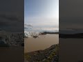 Svínafellsjökull glacier, South Iceland
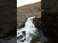 Rjúkandafoss (Rjukandi waterfall), Iceland
 Folaldafoss waterfall, Iceland's hidden gem
 Town of Djupivogur, eastern Iceland
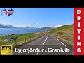 Driving in Iceland 9: Eyjafjordur & Road to Grenivik (4K 60fps)
 Driving in Iceland 8: From lake Myvatn to Godafoss waterfall (4K 60fps)
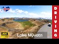 Driving in Iceland 7: Around Lake Myvatn (4K 60fps)
 Iceland volcano eruption Litli-Hrutur west wall collapse 2023-07-19
 Driving in Wales 1: From Betws-y-Coed to Pen-y-Pass | Snowdonia NP | 4K 60fps
 Seljalandsfoss waterfall, Iceland
 Skógafoss waterfall, Iceland
 Driving in Iceland 4: From Skógafoss to Sólheimajökull glacier lagoon | 4K 60fps
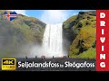 Driving in Iceland 3: From Seljalandsfoss to Skógafoss waterfall | 4K 60fps
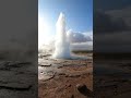 Strokkur geyser eruption, Iceland
 Gullfoss waterfall, Iceland
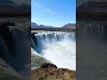 Godafoss waterfall, Iceland
 Edelweisspitze @ Grossglockner Hochalpenstrasse