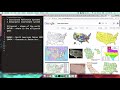
GIS Coordinate Reference Systems
The Coordinate Reference Systems excerpt from a SMS presentation on an Introduction to GIS basics. SMS - https://smsgis.co.za
Видео GIS Coordinate Reference Systems канала Q-tips
Видео GIS Coordinate Reference Systems канала Q-tips
Показать
Комментарии отсутствуют
Информация о видео
Другие видео канала
 What is a Coordinate Reference Systems (CRS)?
 Coordinate System Jargon: geoid, datum, projection
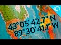 How Do GPS Coordinates Work?
 QGIS - Lat Lon Tools
 Introduction to GIS (Geographic Information Systems)
 Salt Sugar Fat - Michael Moss
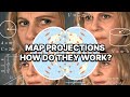 Map Projections Explained - A Beginners Guide
 QGIS Smooth Lines SAGA
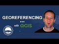 How to georeference an image with QGIS!
 Intro to coordinate systems and UTM projection
 Introducing Coordinate Systems and Map Projections
 What Is GIS
 GIS Lecture 4 : What is Geographic Coordinate System || Geoid Ellipsoid Latitude Longitude Altitude
 Getting back to GIS basics Features, Feature Classes, and Layers
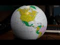 surveying with Geoid Models
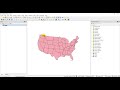 QGIS Coordinate Reference Systems (CRS) and Projections
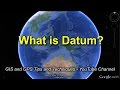 A Simple Explanation of Datum
 Spheroids, Ellipsoid, and Geoid - GIS Fundamentals and Mapping (4)
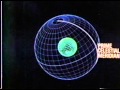 Old Celestial Navigation Cartoon (Part 1 - Celestial Coordinate System)
 Grid Coordinate Systems and UTM