Camera 3: Beyond the Blue: Hawaiʻi Mapping
From May 14-June 9, NOAA Ocean Exploration and partners will conduct the Beyond the Blue: Hawaiʻi Mapping expedition on NOAA Ship Okeanos Explorer to collect bathymetric, sub-bottom, and water column data, focusing on waters deeper than 200 meters (656 feet) within the U.S. Exclusive Economic Zone surrounding the Hawaiian Islands. Collected data will contribute to Beyond the Blue: Illuminating the Pacific, a multiyear, collaborative science and research campaign aimed at bringing together partners to raise collective knowledge, understanding, and appreciation of waters in the Pacific Islands region through coastal and ocean mapping, exploration, and characterization. There will not be any remotely operated vehicle dives during this expedition.
For more information, visit: https://oceanexplorer.noaa.gov/okeanos/explorations/okeanos-beyond-the-blue/welcome.html
Видео Camera 3: Beyond the Blue: Hawaiʻi Mapping канала oceanexplorergov
For more information, visit: https://oceanexplorer.noaa.gov/okeanos/explorations/okeanos-beyond-the-blue/welcome.html
Видео Camera 3: Beyond the Blue: Hawaiʻi Mapping канала oceanexplorergov
Показать
Комментарии отсутствуют
Информация о видео
Другие видео канала
 Islands in the Stream 2002: Bioluminescing Deep Sea Coral
 Indonesia-USA Deep-sea Exploration: July 8, 2010 Highlights
 Whiplash Squid: September 3, 2019
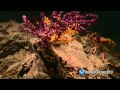 Indonesia-USA Deep-sea Exploration: July 2, 2010 Highlights
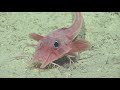 Armored Searobin: 2019 Southeastern U.S. Deep-sea Exploration
 Ocean Sampling Day: Take a Sample!
 Sea Cucumber(s): Océano Profundo 2018
 Why Ocean Exploration Matters: We Can't Manage What We Don't Know
 The Significance of Finding a Previously Undetected Coral Reef
 Camera 1: Beyond the Blue: Hawaiʻi Mapping
 Sea Cucumber: Exploring Puerto Rico’s Seamounts, Trenches, and Troughs 2015
 Greenland Shark: Northeast U.S. Canyons 2013
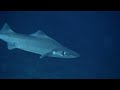 Arrowhead Dogfish: 2019 Southeastern U.S. Deep-sea Exploration
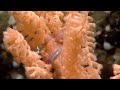 Alaska's Deep Marine Life
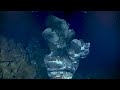 Moytirra Vent Field: July 21, 2022
 Eel Attack: Northeast U.S. Canyons 2013
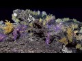 Dive 05: Swordfish Seamount: 2015 Hohonu Moana
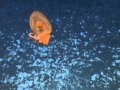 Why Ocean Exploration Matters: You Have to Look in Order to Find
 Indonesia-USA Deep-sea Exploration: July 3, 2010 Highlights
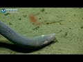 Hagfish